Main Street, Clifton Campville, Staffordshire, B79 0AX
Date of visit: 19th November 2019
Internal ref number: SF/128/035
Date of Visit: 19th Nov 2019
Kiosk Type: K6
Door Type: B
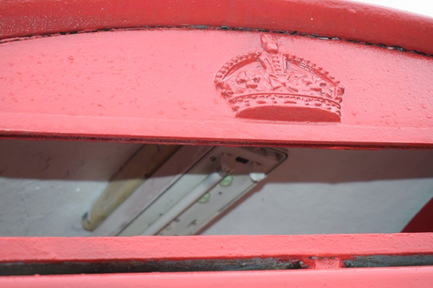
Crown: Tudor
Kiosk Colour: Red
Usage: Empty
Phone Number (if known): EX 01827 373220
Northing & Westing: 52°41’45.7″N, 1°37’21.4″W
what3words: smokers.twilight.impulsive
Grid Reference: SK 25601 10995
OS X & Y: 310995, 425601
Latitude & Longitude: 52.69603, -1.622621
UK Postcode: B79 0AX
County: Staffordshire
Listed Status:


