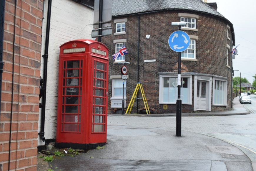
Tutbury, Staffordshire, DE13 9NE
Date of visit: 5th June 2020
Internal ref number: SF/128/153
Date of Visit: 5th Jun 2020
Kiosk Type: K6
Door Type: A
Crown: Tudor
Kiosk Colour: Red
Usage: Phone
Phone Number (if known): 01283 812050
Northing & Westing: 52°51’25.0″N, 1°41’11.1″W
what3words: thrillers.approvals.preheated
Grid Reference: SK 21211 28875
OS X & Y: 328875, 421211
Latitude & Longitude: 52.856956, -1.686428
UK Postcode: DE13 9NE
County: Staffordshire
Listed Status: Historic Eng. Ref. 1252841 09/07/1991


