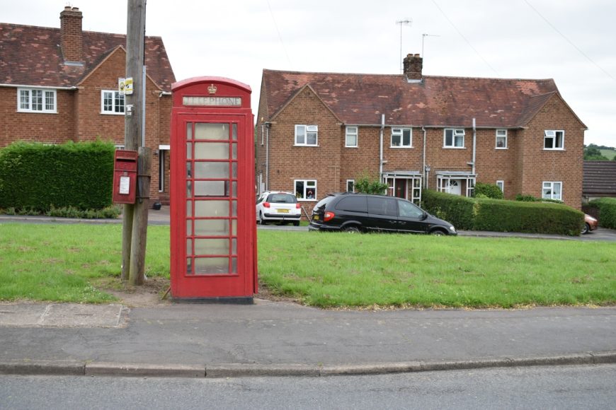
Chaddesley Corbett, Worcestershire, DY10 4NW
Date of visit: 16th July 2020
From Wikipedia, the free encyclopedia
The village was named Chad Lea, or the place of Chad, in Saxon times, and is recorded in the Domesday Book of 1086–7 as Cedeslai, when it was held by a woman, Eadgifu, who also held it in the time of King Edward before the Norman Conquest of 1066. It consisted of eight berewicks and 25 hides of which 10 were free of geld and had the value of £12. The area was subject to forest law for around a century to 1301, as part of Feckenham Forest.
Chaddesley Corbett is centred on the north side of the A448 approximately midway between the north Worcestershire towns of Bromsgrove and Kidderminster.
In 1913 the parish was stated to have just under 5% woodland, namely 242 3⁄4 acres (98.2 ha). Of this the main feature is Chaddesley Woods, which is recognised as a national nature reserve and lies to the east of the village. It is thought to be a remnant of the medieval Feckenham Forest. It is under the care of the Worcestershire Wildlife Trust, founded in 1968 to conserve, protect and restore the county’s wildlife. The main section of the woods has a network of public footpaths to facilitate access.
Internal ref number: WO/139/044
Date of Visit: 18th Jul 2020
Kiosk Type: K6
Door Type: B
Crown: St Edward
Kiosk Colour: Red
Usage: Phone
Phone Number (if known): 01562 777341
Northing & Westing: 52°21’55.5″N, 2°09’27.1″W
what3words: convey.copying.defenders
Grid Reference: SO 89372 74164
OS X & Y: 274164, 389372
Latitude & Longitude: 52.365419, -2.157508
UK Postcode: DY10 4NW
County: Worcestershire
Listed Status: