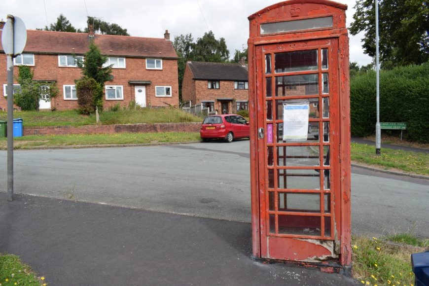
Kinver, Staffordshire, DY7 6AX

Kinver, Staffordshire, DY7 6AX

Date of visit: 29th July 2020

From Wikipedia, the free encyclopedia
Kinver is a large village in South Staffordshire district, Staffordshire, England. It is in the far south-west of the county, at the end of the narrow finger of land surrounded by the counties of Shropshire, Worcestershire and the West Midlands. The nearest towns are Stourbridge, West Midlands, Kidderminster in Worcestershire and Bridgnorth, Shropshire. The Staffordshire and Worcestershire Canal passes through, running close to the course of the meandering River Stour. According to the 2011 census Kinver ward had a population of 7,225.

Kinver has, at various times in the past, been spelt on maps and documents as: Kinfare, Kynfare, Chenfare, Chenevare, Chenefare (as listed in the Domesday Book) and Cynefare. The earliest form of the name is Cynibre, in a charter of 736 AD. The first element may be assimilated to cyne ‘royal’, but may come from a Celtic root cuno- ‘dog’. The second element -bre refers to a steep hill, probably Kinver Edge. The ancient Hill Fort atop the Edge is of possible Bronze-age and certainly Iron Age origin. A Roman presence at nearby Greensforge Fort dates from around 47 AD.


Internal ref number: SF/138/087

Date of Visit: 29th Jul 2022

Kiosk Type: K6
Door Type: D
Crown: St Edward
Kiosk Colour: Red
Usage: Phone
Phone Number (if known): 01384 872504

Northing & Westing: 52Β°27’29.8″N, 2Β°14’24.9″W
what3words: fearfully.treatment.loudness
Grid Reference: SO 83772 84507
OS X & Y: 284507, 383772
Latitude & Longitude: 52.458266, -2.240247
UK Postcode: DY7 6AX
County: Staffordshire


Listed Status: