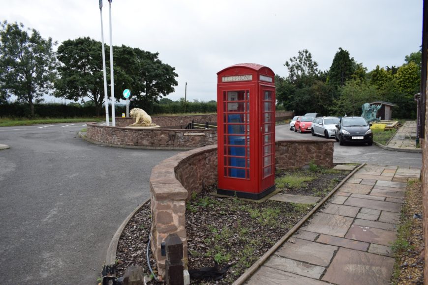
Dunston, Staffordshire, ST18 9AD
Date of visit: 19th August 2020
Internal ref number: SF/127/967
Date of Visit: 19th Aug 2020
Kiosk Type: K6
Door Type: B
Crown: St Edward
Kiosk Colour: Red
Usage: Private
Phone Number (if known):
Northing & Westing: 52°44’47.8″N, 2°06’28.1″W
what3words: discusses.snares.unwell
Grid Reference: SJ 92820 16561
OS X & Y: 316561, 392820
Latitude & Longitude: 52.746618, -2.107795
UK Postcode: ST18 9AD
County: Staffordshire
Listed Status:


