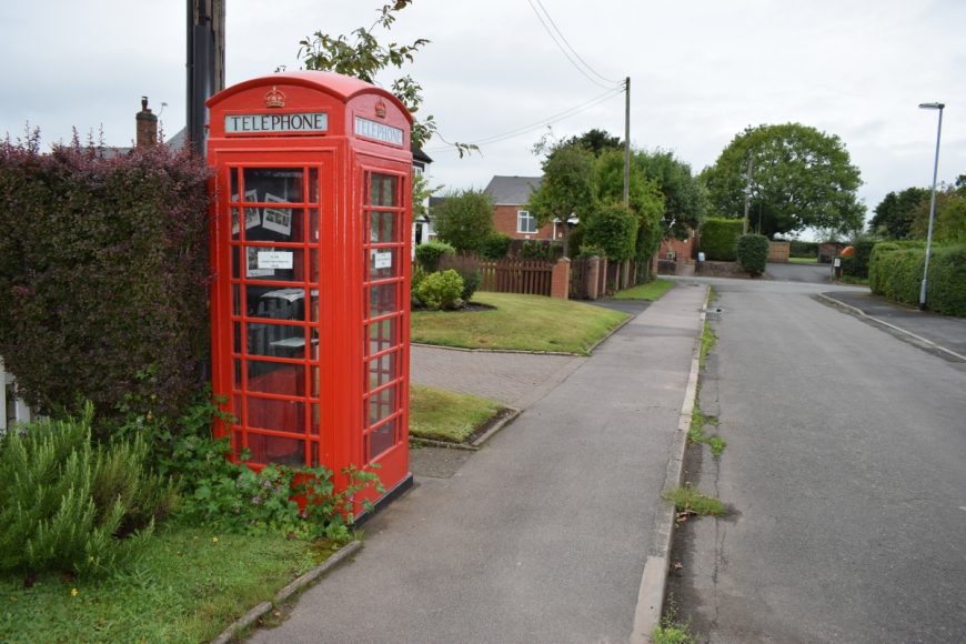
Dunston, Staffordshire, ST18 9AF

Dunston, Staffordshire, ST18 9AF

Date of visit: 19th August 2020

From Wikipedia, the free encyclopedia
Dunston is a small village in England lying on the west side of the A449 trunk road about 3 miles (4.8 km) south of Stafford, close to Junction 13 of the M6 motorway. The population of the village at the 2011 census was 281. It lies at roughly 300 feet (98 m) above sea level.

From email Feb 2024
…Not long after moving to Dunston we signed a petition (instigated by members of the Close where the phone box is situated) to keep our telephone box. At one of the Parish meetings (who paid £1 for it) when discussing how (or who) would take on the role of removing all of the paint. I somehow volunteered my husband!!  He is a retired engineer. He set about completely stripping the box down to bare metal (approx 8 layers of paint) undercoated it in grey paint & then top coated it in red paint as specified by Royal Mail.  He replaced all of the windows & internal frames. He replaced the 3 ‘Telephone’ signs in the top windows.  He also painted the crowns with gold paint. Unfortunately the box hasn’t been used for anything since,  apart from displaying some pictures taken for the VE day celebrations in the Close.  We had considered a book exchange but someone noted they’d seen elsewhere that books were dumped & then became musty. Having flowers in it was also turned down due to lack of volunteers offering to water them & keep them looking pretty….


Internal ref number: SF/127/046

Date of Visit: 19th Aug 2020

Kiosk Type: K6
Door Type: D
Crown: Tudor
Kiosk Colour: Red
Usage: Info
Phone Number (if known): ex 01785 712179

Northing & Westing: 52°45’30.3″N, 2°06’34.2″W
what3words: hiding.scans.sizes
Grid Reference: SJ 92706 17874
OS X & Y: 317874, 392706
Latitude & Longitude: 52.758422, -2.109514
UK Postcode: ST18 9AF
County: Staffordshire


Listed Status: