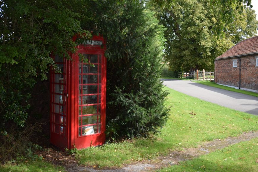
Whatton, Nottinghamshire, NG13 9ES

Whatton, Nottinghamshire, NG13 9ES

Date of visit: 26th August 2020

From Wikipedia, the free encyclopedia
Whatton-in-the-Vale is an English village in the Nottinghamshire borough of Rushcliffe. It lies in the Vale of Belvoir, with the River Smite to the west and the River Whipling to the east, mainly north of the trunk A52 road, 12 miles (19 km) east of Nottingham. It had a population of 843 at the 2011 census.

The place name seems to contain the Old English word hwǣte for wheat, + tūn (Old English) meaning an enclosure, a farmstead, a village, an estate, etc., so “Farm where wheat is grown.” “In the Vale,” i. e. the Vale of Belvoir. The place appears as Watone in the Domesday survey of 1086.


Internal ref number: NT/129/160

Date of Visit: 26th Aug 2020

Kiosk Type: K6
Door Type: B
Crown: Tudor
Kiosk Colour: Red
Usage: Book
Phone Number (if known):

Northing & Westing: 52°56’49.2″N, 0°53’30.0″W
what3words: unsightly.cuts.deflect
Grid Reference: SK 74570 39421
OS X & Y: 339421, 474570
Latitude & Longitude: 52.947, -0.891671
UK Postcode: NG13 9ES
County: Nottinghamshire


Listed Status: