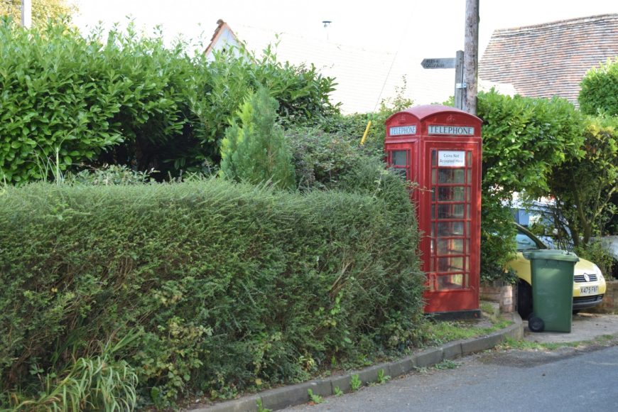
Rock, Worcestershire, DY14 9RX
Date of visit: 17th Sept 2020
Internal ref number: WO/138/136
Date of Visit: 17th Sep 2020
Kiosk Type: K6
Door Type: C
Crown: Tudor
Kiosk Colour: Red
Usage: Empty
Phone Number (if known):
Northing & Westing: 52°20’18.2″N, 2°23’43.9″W
what3words: spotted.applause.covenants
Grid Reference: SO 73147 71219
OS X & Y: 271219, 373147
Latitude & Longitude: 52.338387, -2.395546
UK Postcode: DY14 9RX
County: Worcestershire
Listed Status: Historic Eng. Ref. 1253229 01/08/1988


