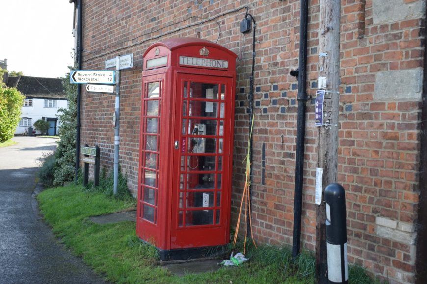
Ripple, Worcestershire, GL20 6EY

Ripple, Worcestershire, GL20 6EY

Date of visit: 1st Oct 2020

From Wikipedia, the free encyclopedia
Ripple is a village and civil parish in the county of Worcestershire, England. Ripple is one of the most southerly parishes in the county and is situated on the A38 road with the River Severn as its western boundary.

Ripple is mentioned in passing in the Domesday Book of 1086, under the entry of Upton upon Severn, as being “also held by the Bishop of Worcester”. During the English Civil War Ripple was the site of a Royalist victory, the Battle of Ripple Field, on 13 April 1643. After an initial Parliamentarian attack by cavalry which was repulsed, the Parliamentarians retreated back into the village of Ripple. After a brief stand, they were eventually routed by the royalist cavalry of Prince Maurice (Maurice of the Palatinate).


Internal ref number: WO/150/135

Date of Visit: 1st Oct 2020

Kiosk Type: K6
Door Type: D
Crown: Tudor
Kiosk Colour: Red
Usage: Phone
Phone Number (if known): 01684 592891

Northing & Westing: 52Β°02’17.6″N, 2Β°11’05.1″W
what3words: onwards.salary.nightlife
Grid Reference: SO 87425 37775
OS X & Y: 237775, 387425
Latitude & Longitude: 52.03823, -2.18474
UK Postcode: GL20 6EY
County: Worcestershire


Listed Status: Historic Eng. Ref. 1277676 21/02/1989