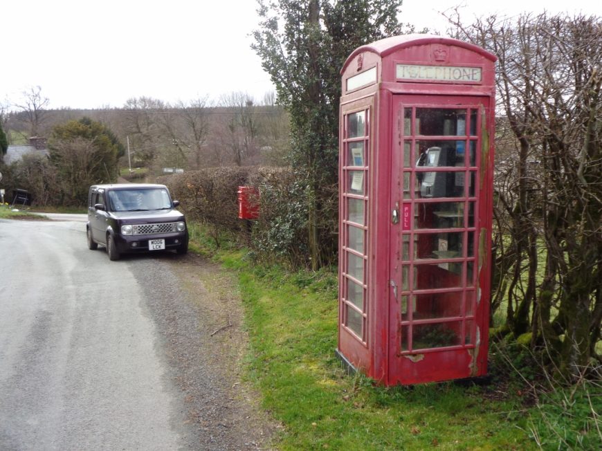
Anchor, Shropshire, SY7 8PR
Date of visit: 10th April 2021
From Wikipedia, the free encyclopedia
Anchor lies only 400 metres away from the border with Wales. The B4368 road runs through the hamlet on its way between the towns of Clun (in England) to Newtown (in Wales). The road reaches an elevation of 389 metres (1,276 ft), making it the highest classified road in Shropshire. The point at which the B4368 crosses over the Nant Rhuddwr (a small watercourse that runs along this part of the English-Welsh border; also known as the Rhuddwr Brook in English) into Wales is known as Anchor Bridge. Anchor is also the most westerly settlement in England on the English-Welsh border, with the most westerly point of the border being approximately 1 1β2 miles (2.4 km) to the southwest.
Internal ref number: SH/136/007
Date of Visit: 10th Apr 2021
Kiosk Type: K6
Door Type: D
Crown: St Edward
Kiosk Colour: Red
Usage: Phone
Phone Number (if known): 01686 670641
Northing & Westing: 52Β°27’29.8″N, 3Β°12’55.7″W
what3words: wrenching.clings.dwarves
Grid Reference: SO 17508 85175
OS X & Y: 285175, 317508
Latitude & Longitude: 52.458266, -3.215477
UK Postcode: SY7 8PR
County: Shropshire
Listed Status: