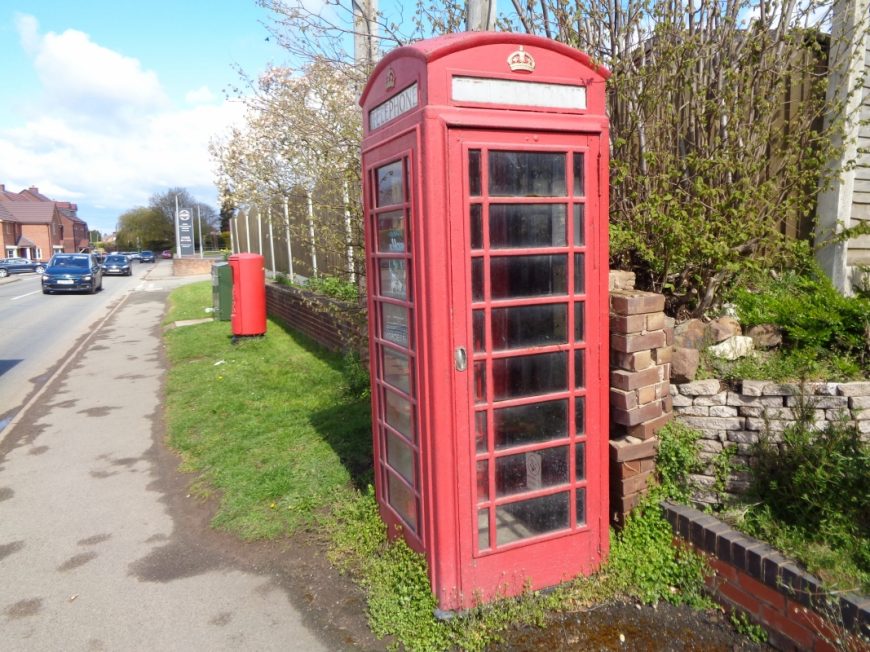
Hallow, Worcestershire, WR2 6LB
Date of visit: 12th April 2021
Internal ref number: WO/150/083
Date of Visit: 12th Apr 2021
Kiosk Type: K6
Door Type: D
Crown: Tudor
Kiosk Colour: Red
Usage: Empty
Phone Number (if known):
Northing & Westing: 52°13’22.8″N, 2°15’15.3″W
what3words: spreading.reeling.conquest
Grid Reference: SO 82729 58342
OS X & Y: 258342, 382729
Latitude & Longitude: 52.223008, -2.25425
UK Postcode: WR2 6LB
County: Worcestershire
Listed Status:


