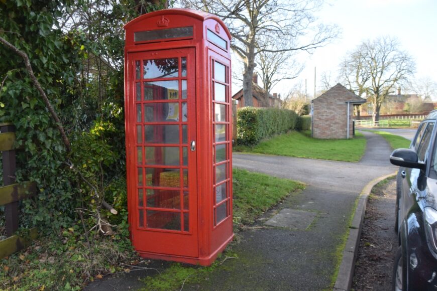
Kirkby Underwood, Lincolnshire, PE10 0SH
Date of visit: 7th Jan 2022
Internal ref number: LL/130/137
Date of Visit: 7th Jan 2022
Kiosk Type: K6
Door Type: A
Crown: Tudor
Kiosk Colour: Red
Usage: Info
Phone Number (if known):
Northing & Westing: 52°49’58.5″N, 0°24’16.5″W
what3words: thread.enhanced.glance
Grid Reference: TF 07577 27347
OS X & Y: 327347, 507577
Latitude & Longitude: 52.832916, -0.404599
UK Postcode: PE10 0SH
County: Lincolnshire
Listed Status:


