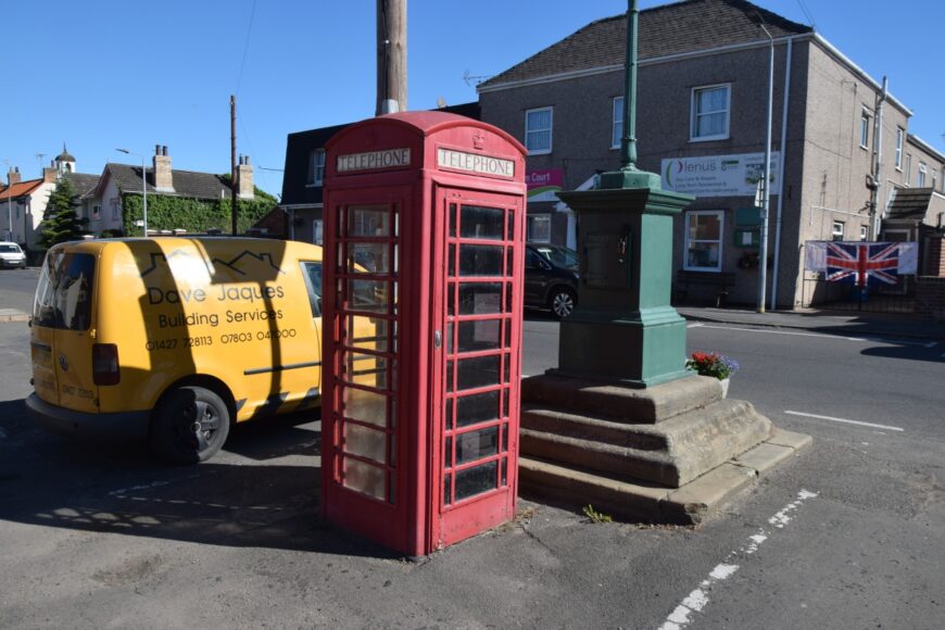
Owston Ferry, Lincolnshire, DN9 1YJ
Date of visit: 10th July 2022
From Wikipedia, the free encyclopedia
Owston Ferry is a village and civil parish in North Lincolnshire, England. It is situated on the west bank of the River Trent, and 9 miles (14 km) north from Gainsborough. Sometimes referred to as Owston or Ferry, the village forms part of the Isle of Axholme. It is bounded to the west by the A161 road and the village of Haxey. The River Trent is directly to the east. To the north, beyond a number of hamlets and villages, lies the River Humber. West Butterwick was originally a part of the township of Owston.
The name “Owston” is thought to derive from the Old Norse “austr+tun”, meaning “east farmstead”, a view shared by other sources which outline that it specifically implied the “farmstead east of Haxey”. The name “Owston” is shared by at least two other settlements within the United Kingdom. In the 1086 Domesday Book it is listed as “Ostone”.
Internal ref number: LL/112/204
Date of Visit: 10th Jul 2022
Kiosk Type: K6
Door Type: D
Crown: St Edward
Kiosk Colour: Red
Usage: Empty
Phone Number (if known):
Northing & Westing: 53Β°29’26.6″N, 0Β°46’36.7″W
what3words: survive.enough.lied
Grid Reference: SE 81248 00030
OS X & Y: 400030, 481248
Latitude & Longitude: 53.490715, -0.77688
UK Postcode: DN9 1YJ
County: Lincolnshire
Listed Status: