
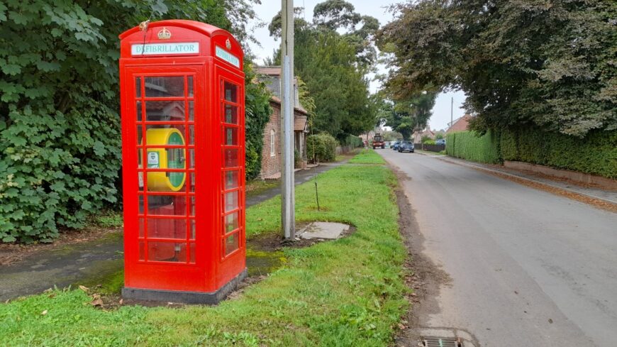
Skirpenbeck, East Riding, YO41 1HF
Date of visit: 11th September 2022


Internal ref number: EY/105/289
Date of Visit: 11th Sep 2022
Kiosk Type: K6
Door Type: D
Crown: Tudor
Kiosk Colour: Red
Usage: Defrib
Phone Number (if known): EX 01759 371217
Northing & Westing: 54°00’13.9″N, 0°51’41.6″W
what3words: alright.margin.tint
Grid Reference: SE 74715 57023
OS X & Y: 457023, 474715
Latitude & Longitude: 54.003841, -0.861578
UK Postcode: YO41 1HF
County: East Riding
Listed Status: Historic Eng. Ref.1262634 17/02/1989


