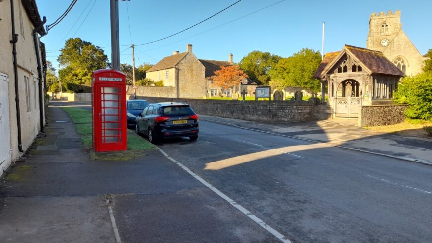
Hullavington, Wiltshire, SN14 6DP

Hullavington, Wiltshire, SN14 6DP

Date of visit: 8th October 2022


From Wikipedia, the free encyclopedia
Hullavington is a village and civil parish in Wiltshire, England, just to the north of the M4 motorway. The village lies about 4 miles (6 km) southwest of Malmesbury and 5+1โ„2 miles (9 km) north of Chippenham.

A settlement of 35 households at Hunlavintone was recorded in the Domesday Book of 1086, and at that time the land was held by Ralf de Mortimer. The place-name means ‘the town of Hunlaf’s people’. The spelling Hunlavyngton is recorded in 1418.

Internal ref number: WT/173/128

Date of Visit: 8th Oct 2022

Kiosk Type: K6
Door Type: D
Crown: Tudor
Kiosk Colour: Red
Usage: Phone
Phone Number (if known): 01666 837609

Northing & Westing: 51ยฐ32’13.5″N, 2ยฐ09’11.1″W
what3words: changes.booklets.frozen
Grid Reference: ST 89480 82030
OS X & Y: 182030, 389480
Latitude & Longitude: 51.537071, -2.153074
UK Postcode: SN14 6DP
County: Wiltshire


Listed Status: Historic Eng. Ref. 1262495 16/03/1992